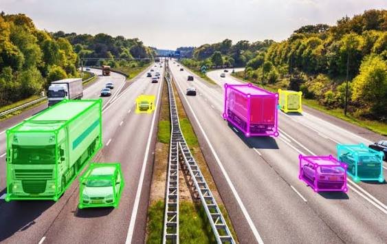
2D LiDAR Annotation
High-precision labeling of 2D LiDAR scans and bird’s-eye view (BEV) representations for robotics and automated navigation.
Accurate placement of bounding boxes, polylines, and polygons to map obstacles, walls, and navigable pathways.
Essential dataset preparation for training spatial awareness algorithms in automated guided vehicles (AGVs), drones, and warehouse robots.
Seamless synchronization and cross-referencing with 2D camera feeds to enhance spatial mapping and object recognition capabilities.
Strict quality assurance protocols to ensure pixel-perfect geometric accuracy for safe and reliable autonomous deployments.