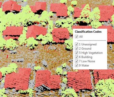
LiDAR Classification
Comprehensive categorization of individual LiDAR points or entire point clusters into predefined, client-specific ontological classes.
Accurate separation of ground points from non-ground features, which is critical for terrain modeling and drivable space detection.
Specialized labeling of utility poles, traffic signs, lane markings, and roadside infrastructure for smart city asset management.
Expert identification and filtering of sensor noise, ghost reflections, and adverse weather artifacts (rain/snow) from the dataset.
Scalable classification pipelines powered by experienced annotators, delivering massive, high-accuracy datasets to accelerate your AI timeline.