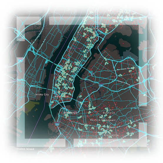
Spatial Data Processing
Comprehensive data cleaning, formatting, and transformation services to harmonize diverse spatial datasets into unified models.
Advanced geocoding and reverse geocoding to attach accurate geographic coordinates to physical addresses and business records.
Expert spatial analysis, including buffer creation, overlay operations, and network routing to extract actionable geographic insights.
Automated data conversion across various coordinate systems and projections to ensure perfect global dataset alignment.
Rigorous quality assurance protocols to guarantee the absolute accuracy, completeness, and reliability of your spatial intelligence.