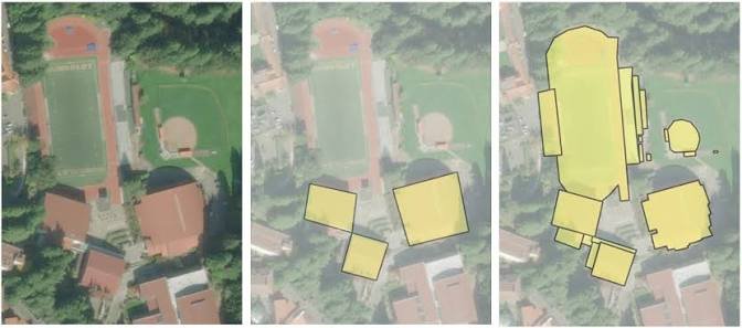
GIS Digitization
High-accuracy conversion of physical maps, historical records, and unstructured blueprints into structured, digital GIS formats.
Precise vectorization of complex raster imagery into detailed points, lines, and polygons for seamless geographic analysis.
Rigorous topology checks and spatial validations to eliminate errors, gaps, and overlaps in your digitized datasets.
Attribute data enrichment to ensure that every digitized spatial feature is backed by deep, meaningful contextual metadata.
Scalable digitization pipelines designed to handle high-volume archival projects while maintaining strict cartographic standards.