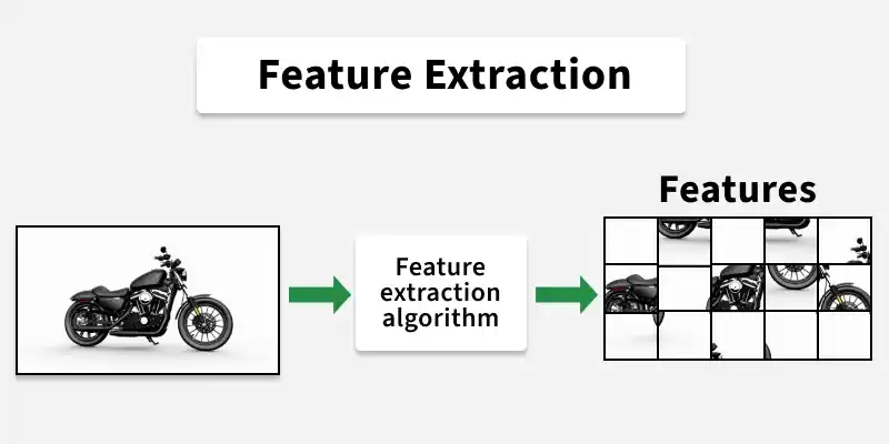
Feature Extraction
Precise extraction of natural and man-made features from high-resolution satellite imagery and aerial photogrammetry.
Automated and manual delineation of building footprints, water bodies, agricultural boundaries, and vegetation coverage.
High-fidelity topographical feature extraction to support advanced terrain modeling, urban planning, and environmental monitoring.
Integration of AI-assisted extraction techniques with expert human-in-the-loop validation for maximum geometric accuracy.
Rapid turnaround times for large-scale remote sensing projects, delivering actionable vector data for immediate GIS deployment.