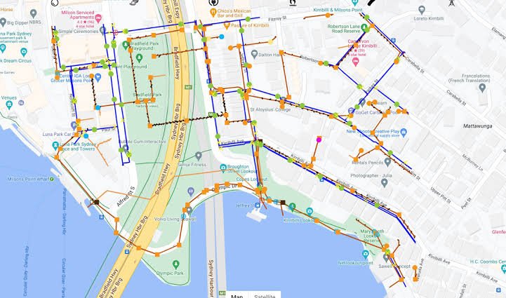
Road & Utility Mapping
Intricate mapping of complex road networks, including lane-level details, intersections, traffic signals, and pedestrian pathways.
Precise geographic tracing of critical utility networks, encompassing water pipelines, electrical grids, and fiber-optic cables.
Accurate spatial alignment of above-ground and underground infrastructure to prevent costly clashes during construction projects.
Detailed attribute extraction for right-of-way management, road condition assessments, and utility load balancing.
Essential spatial datasets tailored for municipal governments, transportation authorities, and public utility providers.